Download
Select the data format
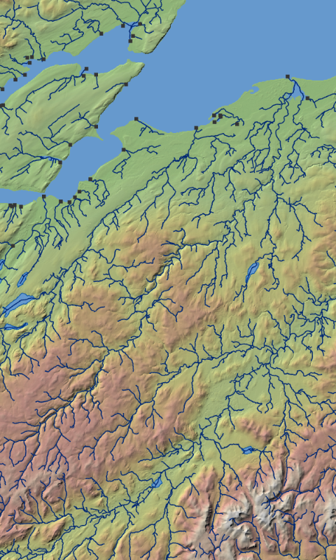
Data is supplied in geospatial vector format with associated metadata.
Select the data format
Data is supplied in geospatial vector format with associated metadata.
| Data Format | Date Added |
|---|---|
| ESRI File GeoDatabase | Version 2.0 March 2025 |
| GeoPackage | Version 2.0 March 2025 |
| GeoJSON | Version 1.0 November 2023 |
| Metadata | Version 2.0 March 2025 |
| Link to references | Date Added |
|---|---|
| OpenRiversNetwork Manual | Version 1.0 November 2023 |
| OpenRiverNetwork (ORN) Catchments | Version 2.0 March 2025 |
| Service | |
|---|---|
| https://gis.geodata.soton.ac.uk/geoserver/open_rivers/wfs? |
There are no scheduled updates to this dataset, but future versions may be subject to release of the OS Open Rivers dataset from Ordnance Survey.