FAQs
A quick run down of frequently asked questions
A quick run down of frequently asked questions
How do I licence OpenRiversNetwork?
OpenRiversNetwork is an open dataset which you are free to use under the terms of the Open Government License v3.0, if data are cited as follows:
Text Citation:
Hornby, D.D., Januchowski-Hartley, S. R., Naura, M., Hill, C. T., (2023) OpenRiversNetwork: a topologically connected river network for Great Britain. GeoData, University of Southampton
Mapping Citation:
© OpenRiversNetwork (ORN) 2023. GeoData Institute, University of Southampton. Contains OS data © Crown Copyright [and database right] (2023).)
Third Party Data Acknowledgements:
The development of OpenRiversNetwork is built upon the open dataset OS Open Rivers, Ordnance Survey 2023..
What is the difference between OpenRiversNetwork and the Ordnance Survey OS Open Rivers™ ?
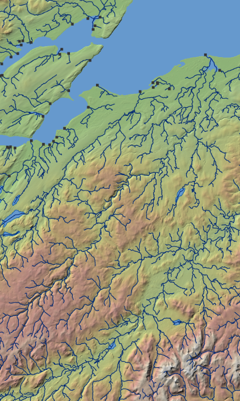
Simply put, OpenRiversNetwork is a modification of the 2023 release of OS Open Rivers from Ordnance Survey. OS Open Rivers is released by Ordnance Survey under an Open Government License as a network mapping a generalised version of the watercourses of Great Britain. Whilst it provides excellent contextual background detail for mapping watercourses in Great Britain it inherits cartographic properties from its underlying data source (the OS Water Layer) that introduces topological errors into the network. A simple example would be a break in the network caused by a map feature such as a bridge. This means the network is not fully connected and thus less useful for analytical purposes.
OpenRiversNetwork corrects these topological errors and adds attributes to the network based on these edits and corrections. Canals that break the classic dendritic pattern of drainage system of the river by linking across sub-catchments have been removed from the dataset. With errors and canals removed the network can be analysed in a consistent manner. Most catchment-based analyses in GIS expect river systems to conform to dendritic network patterns, or as described mathematically a directed graph draining to a single outlet.
What improvements were made to OpenRiversNetwork?What attribution was added to OpenRiversNetwork?
Another significant addition over the OS Open Rivers dataset was the attribution of the river network. This was primarily done using RivEX, a specialist tool for ESRI ArcGIS capable of identifying errors in river networks, attribution, and sampling. A detailed list of the attributes encoded into the network and what they can be used for are listed in the manual.
What do I need to be able to use OpenRiversNetwork?
OpenRiversNetwork can be downloaded in a variety of formats, so you are not limited to any specific GIS software. OpenRiversNetwork is a vector dataset that can be easily consumed by your preferred GIS and is ready to go for site or catchment level analysis.
Are there any limitations in OpenRiversNetwork?
For the purpose of catchment-level analysis, there are no limitations as it is a fully connected and attributed river network.
The network is built from the OS Open Rivers which is a generalised version of the water courses of Great Britain. This will impact detailed site-level analysis as Ordnance Survey have generalised the polylines removing vertices in the dataset that simplify the bends in rivers when compared to other more detailed river networks, such as the OS WaterLayer. The generalisation used by Ordnance Survey has also removed many headwater streams (Strahler order 1 channels) when compared to more detailed river datasets, although these are not open data products..
The coverage of network is limited to Ordnance Survey’s jurisdiction, so Northern Ireland and the Isle of Man are not covered.
How do we report issues / feedback on the dataset
Please send any queries or any issues about the dataset to openrivers@openrivers.net
We are also asking people to tell us what they think about the dataset so would encourage you to fill out the feedback form where you can help set future direction for the product.